Grand Tour GravelLeadville, Colorado Get updates

Home / Gallery

The course country

Gallery

The roads, passes and town that Grand Tour Gravel is being planned around. The race has not been run yet, so these are pictures of the country, not of the event.
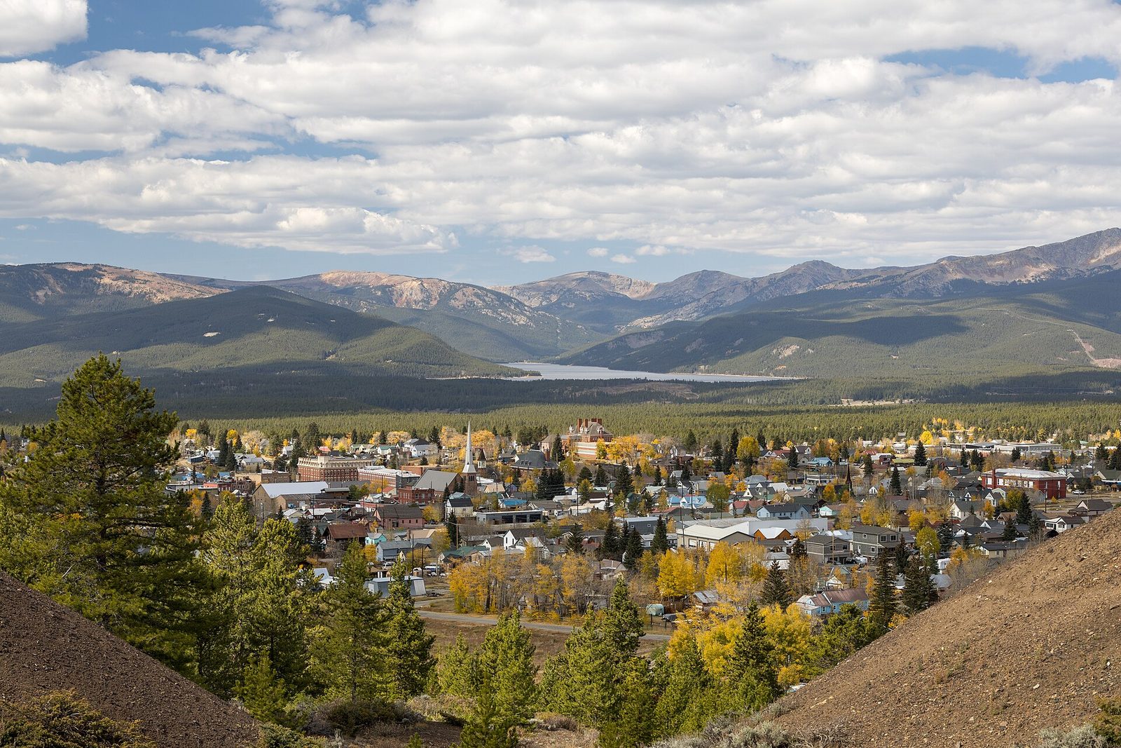
Leadville from the hills east of town in autumn, with Turquoise Lake and Galena and Wildcat mountains beyond
Leadville and Turquoise Lake. The town in fall color, with Turquoise Lake and the Galena Mountain ridge to the west. Start, finish and expo are planned here.Photo: Clyde Charles Brown, CC BY-SA 4.0, via Wikimedia Commons
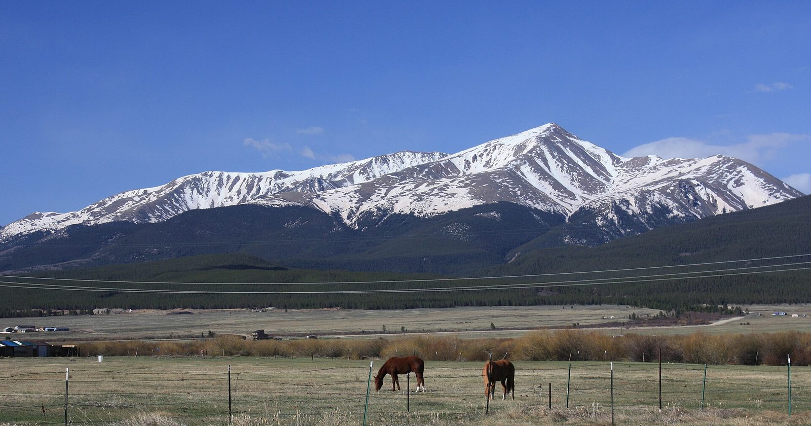
Two horses grazing in a fenced pasture below snow-covered Mount Elbert
Mount Elbert. Colorado's highest peak, 14,440 feet, from a pasture about five miles southwest of Leadville in May.Photo: David Herrera, CC BY 2.0, via Wikimedia Commons
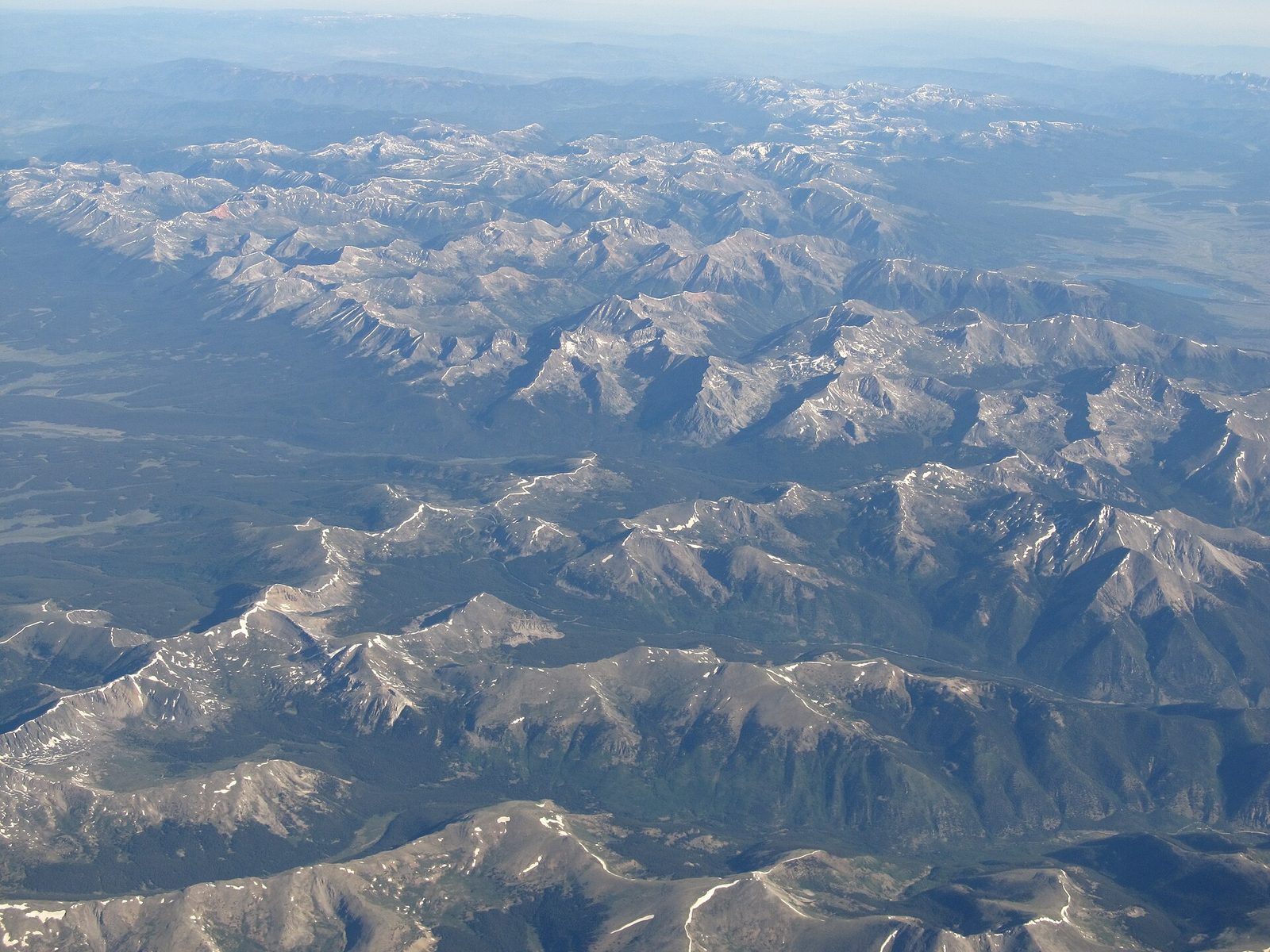
Aerial view of the snow-streaked ridges of the Sawatch Range around Mount Elbert
The Sawatch Range from the air. Mount Elbert and the surrounding Sawatch Range, the line of fourteeners along the west side of the valley.Photo: Ken Lund, CC BY-SA 2.0, via Wikimedia Commons
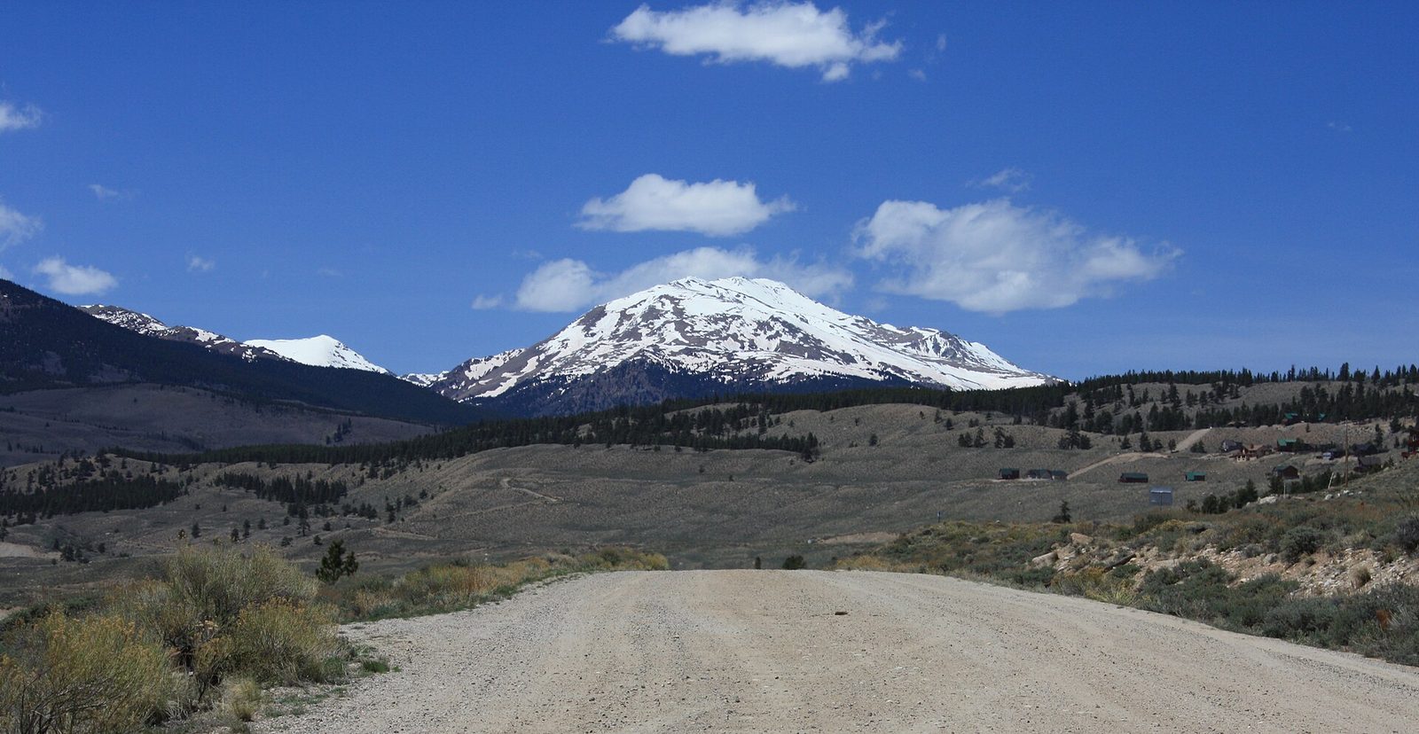
A wide gravel road leading toward snow-covered Mount Massive under a blue sky
Mount Massive from near Twin Lakes. A graded road near Twin Lakes with Mount Massive, Colorado's second-highest peak, ahead.Photo: David Herrera, CC BY 2.0, via Wikimedia Commons
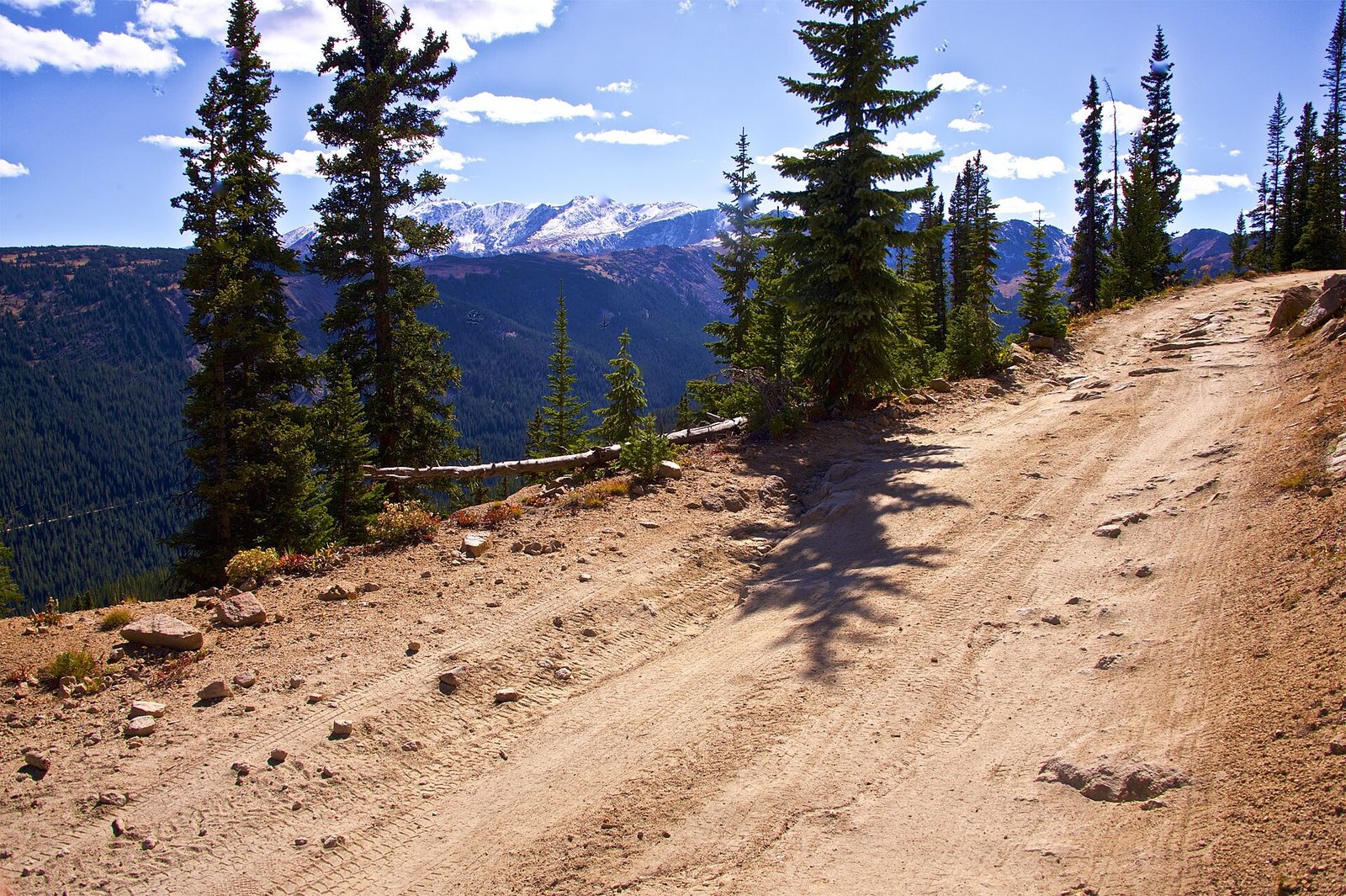
A rocky dirt road winding through spruce trees with distant peaks on the horizon
Hagerman Pass road, east side. The road coming down from Hagerman Pass toward Turquoise Lake, with loose rock underfoot and spruce on both sides.Photo: Bilariusz, CC BY-SA 4.0, via Wikimedia Commons
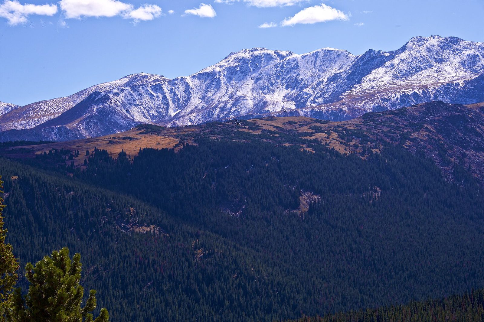
Snow-dusted ridgeline of Mount Massive above a deep forested valley
Mount Massive from Hagerman Pass. The Mount Massive ridgeline across a forested valley, seen from the Hagerman Pass road in early October.Photo: Bilariusz, CC BY-SA 4.0, via Wikimedia Commons
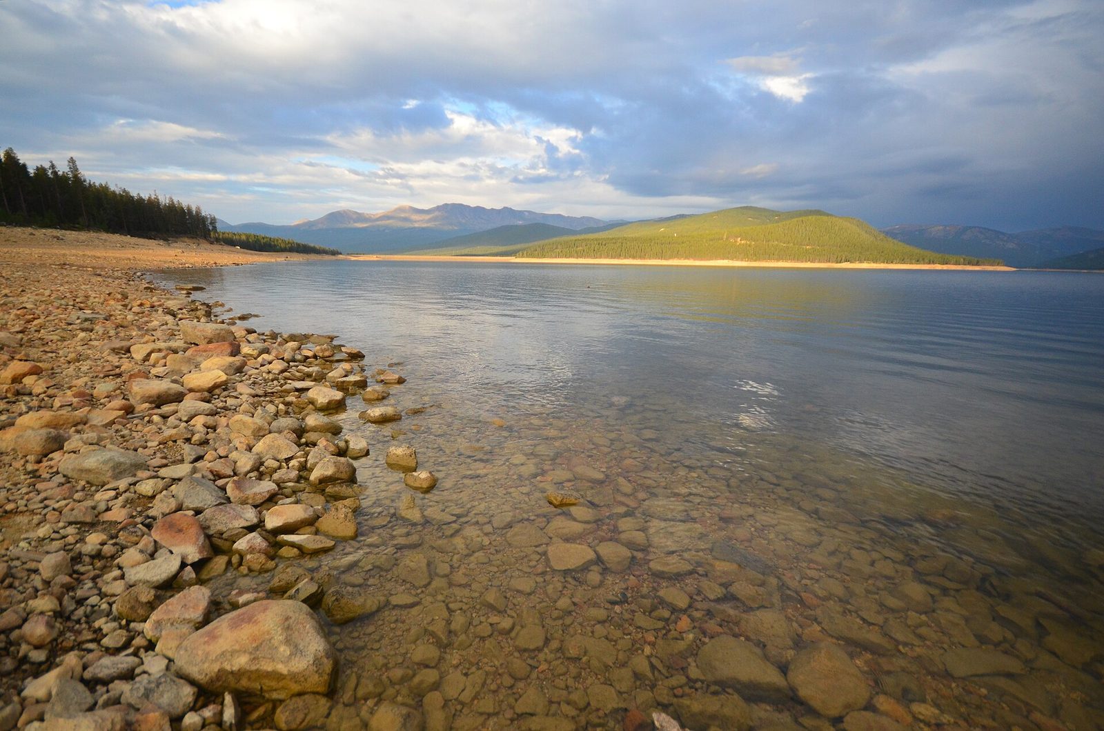
Rocky shoreline and clear, calm water at Turquoise Lake in early light
Turquoise Lake. The reservoir just west of town in early light. The basecamp lodge sits in the country around this lake.Photo: Sayamindu Dasgupta, CC BY-SA 2.0, via Wikimedia Commons
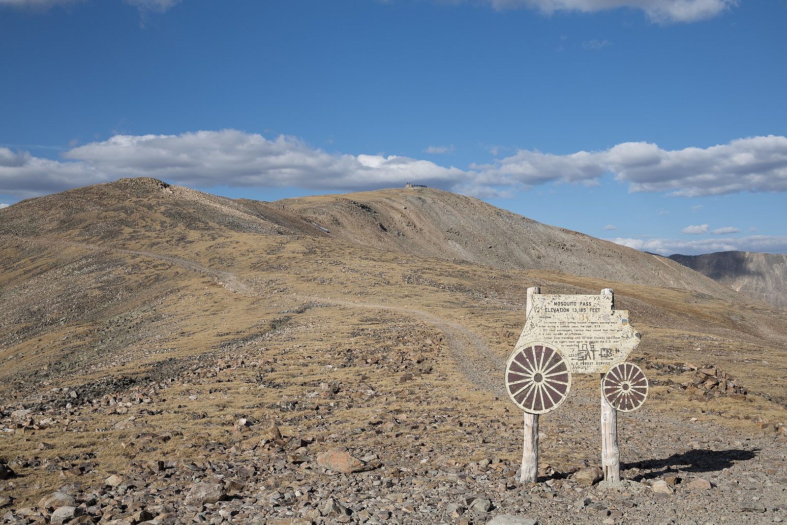
The wooden Mosquito Pass summit sign with wagon wheels on a bare, rocky saddle
Mosquito Pass summit. The summit marker on Mosquito Pass, one of the highest roads in North America, with Kuss Peak behind.Photo: Clyde Charles Brown, CC BY-SA 4.0, via Wikimedia Commons
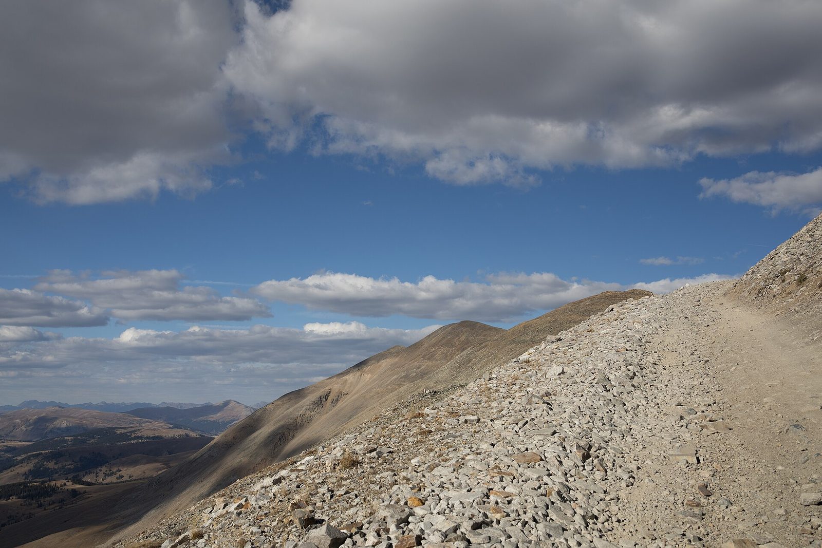
A narrow road cut across a steep talus slope above a wide valley, under heavy clouds
Mosquito Pass road. The road traversing loose talus near the top of Mosquito Pass, looking out from below Treasurevault Mountain and Mosquito Peak.Photo: Clyde Charles Brown, CC BY-SA 4.0, via Wikimedia Commons
Rocky alpine tundra in the foreground and a broad mountain valley below a cloud-streaked sky
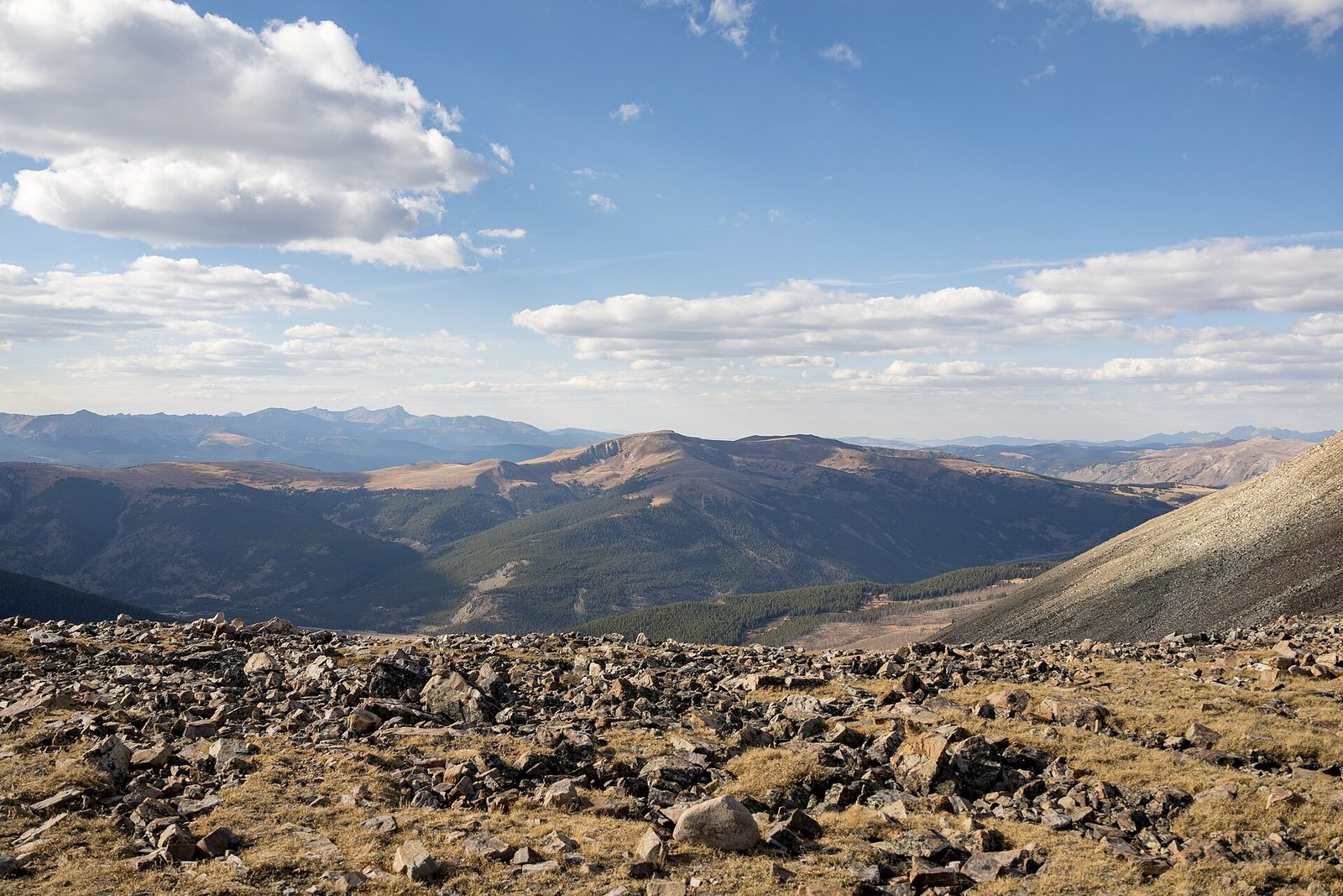
Buckeye Peak from Mosquito Pass. Above treeline on the pass, looking toward Buckeye Peak. Rock, thin air and no shelter from the weather.Photo: Clyde Charles Brown, CC BY-SA 4.0, via Wikimedia Commons
Collapsed timbers of an old mine structure in grass among conifers, with bare hills behind in evening light
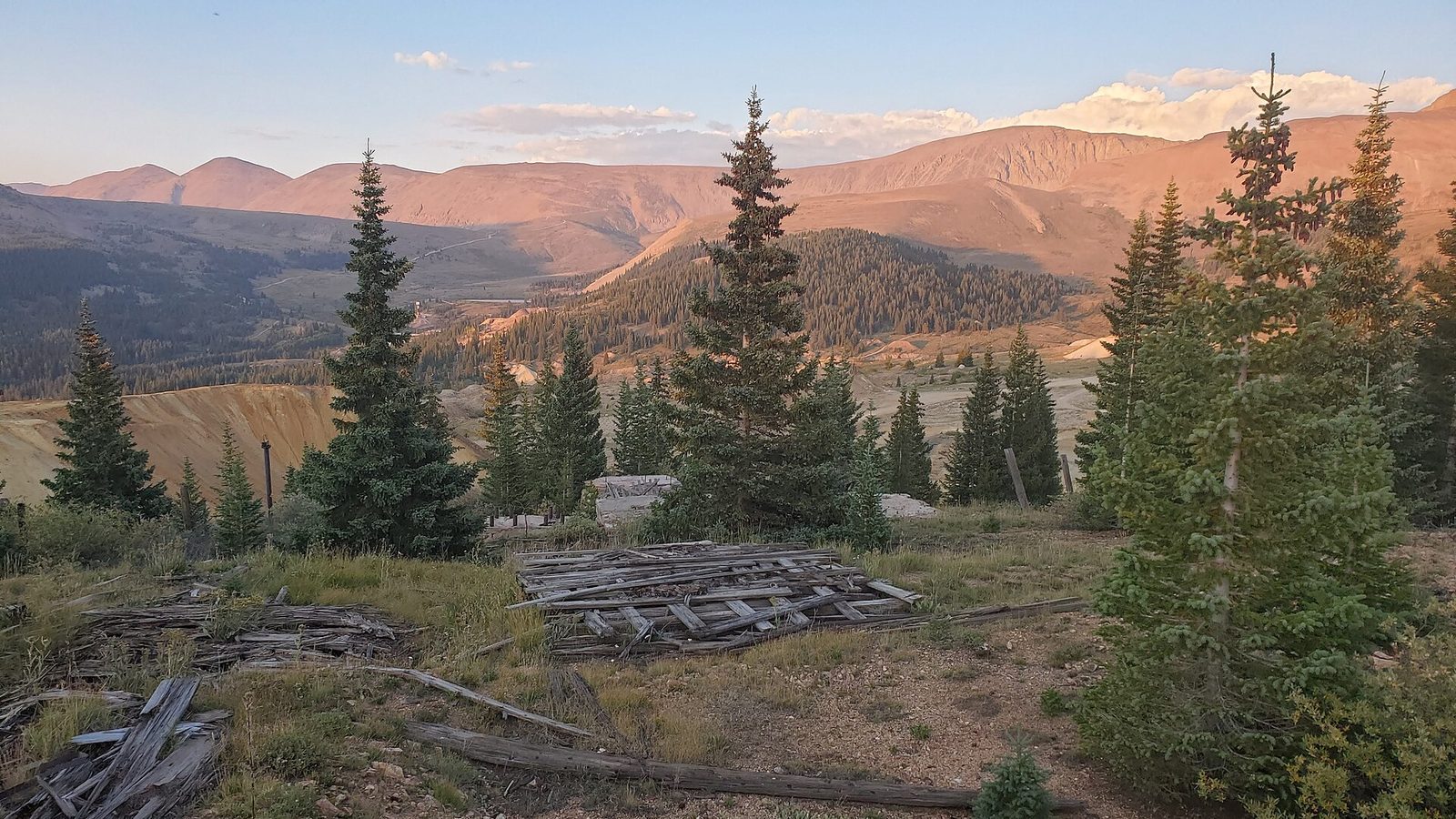
Ibex Mine remains. Weathered timbers that were likely part of the Ibex Mine, in the old mining district east of Leadville.Photo: D&RG Railfan, CC BY 3.0, via Wikimedia Commons
Orange and gold aspens beside a dirt road under a deep blue sky
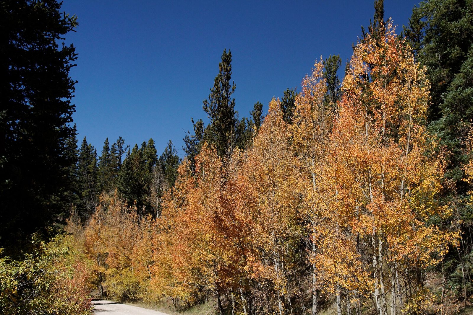
Weston Pass Road. Aspens turning in late September along the Weston Pass road, the old wagon route south of Leadville.Photo: KimonBerlin, CC BY-SA 2.0, via Wikimedia Commons
A line of UTVs parked on a dirt two-track beside a meadow of yellow wildflowers, mountains in the distance
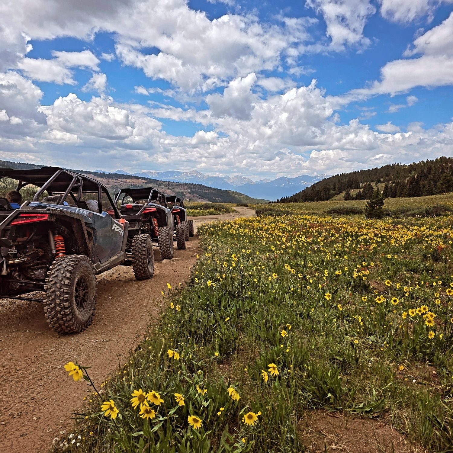
On tour above Leadville. A guided UTV group stopped beside a summer wildflower meadow on the high roads outside town.Photo courtesy of Leadville Offroad Adventures, basecamp partner
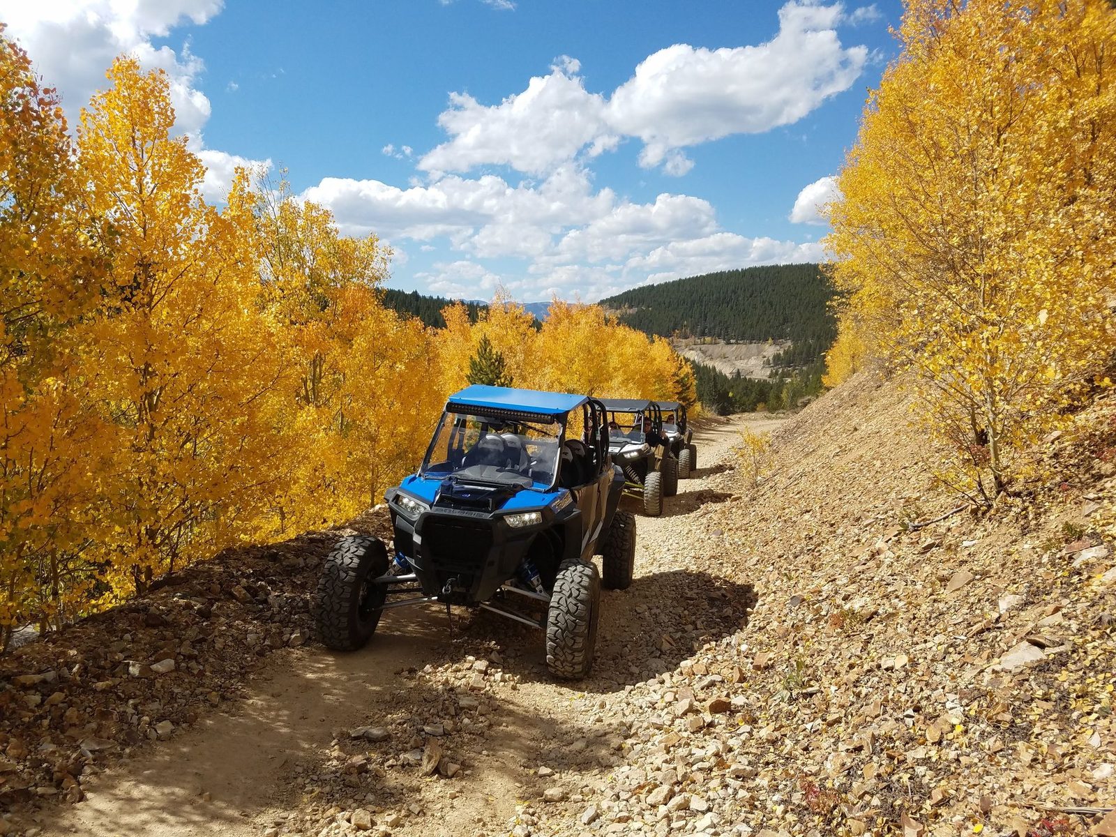
Two UTVs on a rocky mountain road lined with golden aspens
Fall on the mining roads. UTVs climbing a rocky road through aspens at peak fall color.Photo courtesy of Leadville Offroad Adventures, basecamp partner

Select a photo to open it larger. Arrow keys move between photos and Esc closes the viewer.

Credits

Who took these

The landscape photographs come from Wikimedia Commons and are used under the Creative Commons license listed for each one. They are resized and cropped for the web and otherwise unchanged. Each file page has the original image and the full license terms. The two tour photos were supplied by Leadville Offroad Adventures, a basecamp partner.

PhotoAuthorLicenseSource
Leadville and Turquoise LakeClyde Charles BrownCC BY-SA 4.0Commons file page
Mount ElbertDavid HerreraCC BY 2.0Commons file page
The Sawatch Range from the airKen LundCC BY-SA 2.0Commons file page
Mount Massive from near Twin LakesDavid HerreraCC BY 2.0Commons file page
Hagerman Pass road, east sideBilariuszCC BY-SA 4.0Commons file page
Mount Massive from Hagerman PassBilariuszCC BY-SA 4.0Commons file page
Turquoise LakeSayamindu DasguptaCC BY-SA 2.0Commons file page
Mosquito Pass summitClyde Charles BrownCC BY-SA 4.0Commons file page
Mosquito Pass roadClyde Charles BrownCC BY-SA 4.0Commons file page
Buckeye Peak from Mosquito PassClyde Charles BrownCC BY-SA 4.0Commons file page
Ibex Mine remainsD&RG RailfanCC BY 3.0Commons file page
Weston Pass RoadKimonBerlinCC BY-SA 2.0Commons file page
On tour above LeadvilleLeadville Offroad AdventuresUsed with permissionleadvilleoffroadadventures.com
Fall on the mining roadsLeadville Offroad AdventuresUsed with permissionleadvilleoffroadadventures.com
Aspens in fall color beside the Weston Pass road

See it in person

How to get to Leadville, where to stay and what to do between rides.